If you have booked with us since 2022, welcome back! Login with your CVHS registered email to use your profile to create a new booking, or view or cancel existing reservations. If an email match is found, an access code will be emailed to you. Otherwise close out of the sign-in prompt, search for hut availability and complete a new profile when prompted in the booking process.
Jumbo Pass Hut
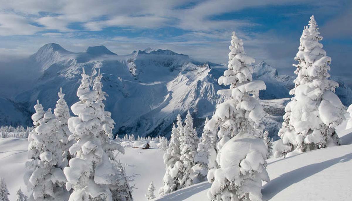
An East & West Kootenay favourite, the Jumbo Hut is a great backcountry experience at the height of the Purcells.
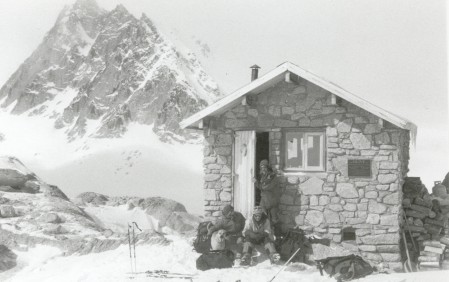
Kingsbury Hut
This hut is hard to get to and offers a true wilderness experience with ski touring, mountaineering and wildlife viewing.

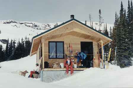
David White Hut
This hut is relatively easy to access, and offers beautiful views across the basin to the Catamount Glacier, not to mention steep and deep tree skiing from the ridge above.
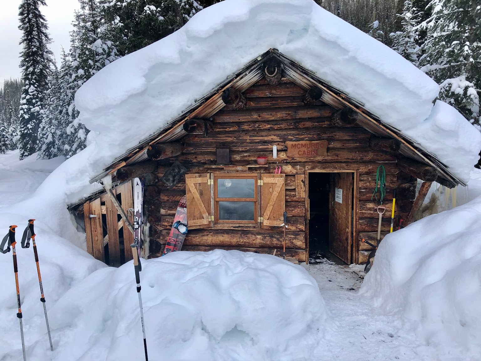
McMurdo Cabin
The area accessible from the rustic McMurdo hut offers wildlife, scenery and high country travel in the summer and great ski touring options for winter users.